
Esri ArcGIS Pro Professional Practice Test
$69.00
- Buy to unlock unlimited access to all Quiz questions and Answers in this Quiz.
- After purchase you can print a PDF of the whole quiz at any point. The PDF will contain the questions and the correct answers.
About this Exam
This practice exam is designed for experienced Geographic Information Systems (GIS) specialists, analysts, and administrators who are aiming to achieve the official Esri ArcGIS Pro Professional Certification. It is tailored for individuals who possess advanced skills in ArcGIS Pro and have substantial experience with Esri software, typically spanning three or more years in professional environments. The ArcGIS Pro Professional Certification validates a professional's comprehensive understanding of GIS concepts, complex data management, sophisticated spatial analysis, high-level cartographic visualization, and geoprocessing within the Esri ecosystem. This practice test serves as a critical diagnostic tool, mimicking the format and rigor of the official certification to help candidates identify areas of strength and weakness before they attempt the formal examination.
Ready to test your knowledge?
Buy Now to Access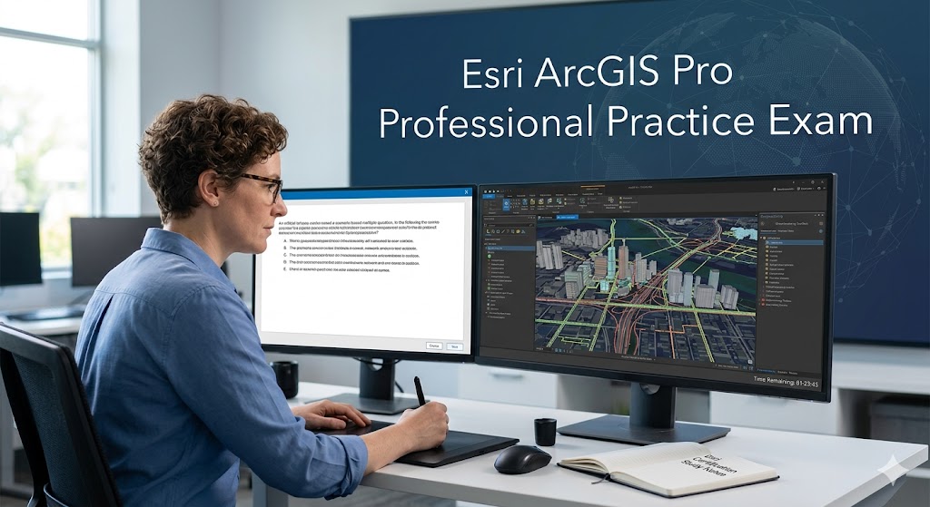
Additional Information
What the Course Entails and Exam Details
The ArcGIS Pro Professional certification, and the associated practice material, assesses high-level competencies across several core domains essential for advanced GIS work. Candidates must demonstrate deep proficiency in Spatial Data Management, which includes creating, editing, and managing complex geodatabases, optimizing database performance, manipulating vector and raster data from diverse sources, and performing advanced coordinate system and projection conversions. A significant portion of the test covers Visualization and Sharing, requiring expertise in producing professional, sophisticated maps and layouts using advanced cartographic techniques, designing dynamic scenes, and effectively publishing web services and sharing geospatial information via ArcGIS Online or ArcGIS Enterprise. Furthermore, Spatial Analysis is a critical component, demanding advanced skills in performing multi-criteria decision analysis, utilizing the full suite of geoprocessing tools, developing automated workflows using ModelBuilder, and leveraging Python (ArcPy) scripts for advanced analysis and custom tool development. Finally, the exam includes ArcGIS Pro Configuration and Deployment, ensuring knowledge of managing licenses, customizing the software interface, configuring enterprise-level settings, and troubleshooting system-level performance issues.
What to Expect in the Final Exam
The actual Esri ArcGIS Pro Professional Certification exam is a robust, time-constrained assessment intended to simulate a professional's real-world problem-solving process. It typically consists of approximately 90 to 110 complex, multiple-choice questions that are scenario-based, requiring candidates to apply their advanced knowledge to practical situations rather than simple fact recall. The exam duration is generally around 130 to 150 minutes, requiring significant stamina and focus. While passing scores are strictly confidential and vary between different exam versions, candidates should aim for an accurate score well above 70% in their practice attempts. The official exam is administered through Pearson VUE and is fully proctored, either in a physical, authorized testing center or via an online proctoring service that enforces strict environmental and technical requirements. This practice test is the optimal method for familiarizing oneself with the structure, question types, and rigorous time constraints that you will encounter in the formal professional testing environment, offering a simulated experience that reduces exam-day anxiety and highlights critical knowledge gaps.
How to Study and Exam Centers
Preparing effectively for the ArcGIS Pro Professional Certification requires a dedicated, structured study strategy focused on practical application. Official Resources are Essential: Start by thoroughly reviewing the official Esri Exam Guide for the ArcGIS Pro Professional certification, which is always the most authoritative source of information. Esri provides an official exam preparation path that details specific prerequisite skills, comprehensive reference materials, and highly recommended, deep-dive training courses focused on advanced analysis and data management. Taking the official Esri ArcGIS Pro Professional Practice Test is perhaps the single most valuable study method. It accurately identifies specific areas where further study is needed and helps build familiarity with the complexity and logic of the professional-level questions. Use your results from this practice test to guide your focused revision on those weaker topics. Practical Application is Key: Ensure you have multiple years of direct, hands-on experience using ArcGIS Pro in diverse real-world scenarios. Recreate complex workflows, especially in spatial analysis and enterprise data management, from memory, and then cross-check your methods against Esri's documentation. Engage deeply with the Esri community, review advanced GIS tutorials, and practice automating repetitive tasks using Python. Authorized Exam Centers: When you are ready for the actual certification attempt, the primary method for taking the exam is through Pearson VUE. Candidates must schedule their test at an authorized Pearson VUE testing center located in their region. Alternatively, Esri offers an online proctored exam option through Pearson VUE, allowing professionals to complete the test from their home or office, provided they meet strict technical and environmental requirements.
Job Opportunities from the Course
Achieving the Esri ArcGIS Pro Professional Certification significantly advances your career within the GIS, geospatial analysis, and data science sectors. This credential validates high-level expertise, making you a highly desirable candidate for advanced, high-impact roles, such as:
Senior GIS Analyst
Geospatial Data Scientist
GIS Project Manager
Geospatial Architect
GIS Application Developer
Cartography and Visualization Lead
Geospatial Consultant
Manager of GIS Operations
Database Administrator for Geospatial Systems
Remote Sensing Specialist
Frequently Asked Questions
Reviews
5.0
Based on 0 reviews
Leave a Review
No reviews yet. Be the first to review!