Geospatial Intelligence (GEOINT) Fundamentals Practice Exam
$69.00
- Buy to unlock unlimited access to all Quiz questions and Answers in this Quiz.
- After purchase you can print a PDF of the whole quiz at any point. The PDF will contain the questions and the correct answers.
About this Exam
The GEOINT Fundamentals Practice Exam is a comprehensive preparatory tool designed to simulate the experience of official certification assessments within the field of Geospatial Intelligence. This practice test is engineered to validate a student’s foundational comprehension of the core principles of GEOINT, a discipline that converges geography, imagery analysis, and geospatial data to provide critical intelligence for decision-makers. It is the ideal assessment for aspiring intelligence analysts, geospatial technicians, and students within national security, geography, or data science programs looking to enter the defense and intelligence communities. By using this practice exam, you can gauge your proficiency against industry standards, such as those defined by the National System for Geospatial-Intelligence (NSG), before attempting the formal proctored examination.
Ready to test your knowledge?
Buy Now to Access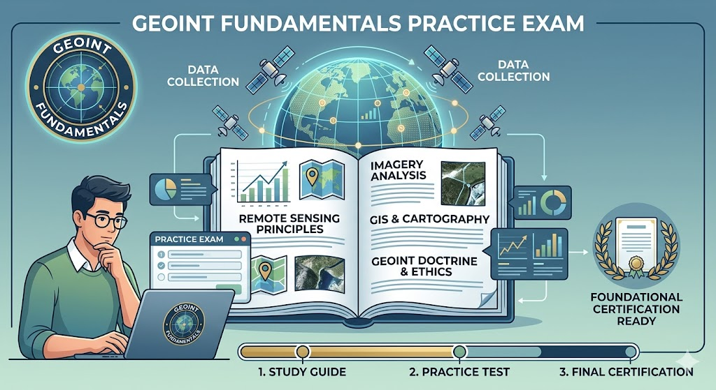
Additional Information
What the Course Entails and Exam Details
This preparatory resource is structured around the critical knowledge areas that define basic proficiency in Geospatial Intelligence. You will encounter questions that require you to apply fundamental concepts of Remote Sensing, including the underlying physics of various sensor technologies like electro-optical, infrared, and radar systems. Another major focal point is Imagery Analysis, where you must demonstrate skills in visual interpretation, identifying objects, and extracting meaningful intelligence from satellite and aerial imagery. The course also delves into Cartography and Geographic Information Systems (GIS), testing your mastery of map projections, coordinate systems, and effective spatial data visualization. Furthermore, candidates must understand GEOINT Doctrine and Processes, which govern how geospatial intelligence is collected, analyzed, produced, and disseminated. Finally, a crucial component involves the established Ethical, Legal, and Policy Frameworks that regulate data collection and ensure privacy within the intelligence community.
What to Expect in the Final Exam
When you progress from this practice exam to the formal GEOINT Fundamentals Certification, you will likely take a computer-based examination comprising structured multiple-choice questions. The official exam is designed to be a rigorous assessment of your analytic capability rather than mere recall, often featuring scenario-based problems that require you to apply your knowledge to real-world intelligence challenges. While the specific number of questions can vary, the time limit is generally substantial, typically giving candidates two to three hours to complete the test. A passing score is usually required to demonstrate foundational competency, often set in the range of 70% to 80%. Since the official exam is often administered in a secure, proctored environment, understanding the pacing and question format of this practice test is vital for managing exam anxiety and ensuring success.
How to Study and Exam Centers
Effectively studying for this fundamental exam requires a systematic, hands-on approach. We recommend starting with a thorough review of established GEOINT textbooks, the official doctrine from the National Geospatial-Intelligence Agency (NGA), and the USGIF GEOINT Essential Body of Knowledge. Do not simply memorize facts; instead, focus on practical applications by using open-source GIS software or analyzing satellite imagery to solidify your analytical techniques. Leverage this practice exam repeatedly to identify persistent knowledge gaps and familiarize yourself with the structure of complex analytical questions. After you feel prepared by using this preparatory resource, the official certification examinations are typically administered through secure, globally recognized testing centers like Pearson VUE. You may also find testing opportunities through accredited universities with USGIF-certified GEOINT programs, or within authorized government and military training facilities for Department of Defense personnel.
Job Opportunities from the Course
Successfully completing a GEOINT Fundamentals course and achieving certification validates the baseline proficiency required to begin a rewarding career in geospatial analysis. This qualification is highly sought after by federal intelligence agencies, defense contractors, disaster response organizations, and an increasing number of commercial companies specializing in location intelligence. Specific job titles and career paths unlocked by this foundational knowledge include:
Geospatial Intelligence (GEOINT) Analyst
Imagery Analyst
Cartographer / Geospatial Specialist
GIS Technician
Remote Sensing Analyst
Terrain Analyst / Geomorphologist
Geospatial Data Scientist
Intel Technical Specialist
Targeteer / Targeting Analyst
Navigation and Positioning Specialist
Frequently Asked Questions
Reviews
5.0
Based on 0 reviews
Leave a Review
No reviews yet. Be the first to review!