
IGCSE Geography Rivers Practice Test
$69.00
- Buy to unlock unlimited access to all Quiz questions and Answers in this Quiz.
- After purchase you can print a PDF of the whole quiz at any point. The PDF will contain the questions and the correct answers.
About this Exam
The IGCSE Geography Rivers Practice Test is a comprehensive assessment tool specifically developed for students undertaking the International General Certificate of Secondary Education (IGCSE) Geography qualification. This practice test is designed for candidates aiming to focus on and master the crucial fluvial (river) section of their physical geography syllabus. It provides a targeted evaluation environment, allowing students to check their grasp of river dynamics before the final exam. This simulation helps identify areas of strength and weakness in understanding hydrological processes, preparing them for success in this globally recognized qualification.
Ready to test your knowledge?
Buy Now to Access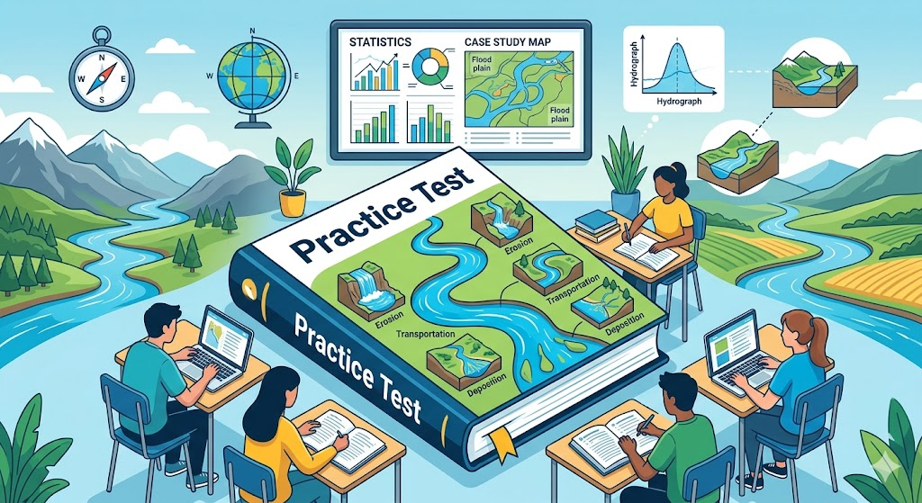
Additional Information
What the Course Entails and Exam Details
This focused study on rivers entails a deep dive into the complex world of freshwater systems. Students must cover the complete river landscape from the source to the mouth. Key syllabus components include understanding the river long profile and its three distinct courses: upper, middle, and lower. The core skills tested involve recognizing and explaining essential physical processes, such as the different methods of erosion (hydraulic action, abrasion, attrition, solution), transportation (traction, saltation, suspension, solution), and deposition. The practice test evaluates your ability to describe the formation of characteristic river landforms, such as interlocking spurs, waterfalls, meanders, and deltas. Furthermore, it assesses knowledge of the human impact on rivers, including the causes, consequences, and management of river flooding.
What to Expect in the Final Exam
While this is a practice test, it is strictly modeled after the structure and demands of the official IGCSE Geography final examination, particularly Paper 1 (Physical Environment). The final exam typically requires candidates to answer multiple components within a set time limit, often involving structured questions based on diagrams, maps, or statistics. Students should expect questions that blend conceptual knowledge with data analysis skills. A passing score varies by examination board (e.g., Cambridge International or Pearson Edexcel) and grade boundaries fluctuate, but a strong performance across all core rivers topics is essential. The rivers section is often one major component of the entire Paper 1 assessment, contributing significantly to your overall grade.
How to Study and Exam Centers
Effective study for the IGCSE Geography Rivers section requires a multi-faceted approach. First, master all key geographical terminology through consistent flashcard usage. Create and label detailed diagrams showing river cross-sections, the hydrological cycle, and landform formation processes like meander migration. Regularly review and dissect specific case studies of river management and flooding. Implement a rotation of practicing with previous actual past papers and the IGCSE Geography Rivers Practice Test under timed conditions to build speed and accuracy. Regarding exam centers, the practice test is a digital or print resource for independent study. For the final official IGCSE qualification, you must register through an approved exam center, typically your current school. Private candidates can locate registered Cambridge International or Pearson Edexcel authorized physical centers on the official websites.
Job Opportunities from the Course
A strong foundation in IGCSE Geography, especially specializing in understanding rivers, is a significant first step toward many fulfilling career paths where understanding water systems and landscapes is paramount. Successfully achieving the full IGCSE Geography qualification opens doors to further education (A-Levels or IB) and eventually professions such as:
Hydrologist
Environmental Consultant
Water Resources Manager
Town and Regional Planner
Disaster Risk Management Specialist
GIS Analyst
Teacher of Geography
Cartographer
Geologist
Flood Management Officer
Frequently Asked Questions
Reviews
5.0
Based on 0 reviews
Leave a Review
No reviews yet. Be the first to review!