Intermediate Geographic Information Systems (GIS) 2 Practice Exam
$69.00
- Buy to unlock unlimited access to all Quiz questions and Answers in this Quiz.
- After purchase you can print a PDF of the whole quiz at any point. The PDF will contain the questions and the correct answers.
About this Exam
The Intermediate GIS 2 Practice Exam is a critical assessment designed for geospatial professionals and students ready to advance their expertise beyond foundational concepts. This certification validates an individual’s proficiency in complex spatial analysis, advanced data management, and the practical application of Geographic Information Systems (GIS) in various professional scenarios. This exam is tailored for GIS technicians, analysts, and anyone in related fields who has a solid grip on the basics and is looking to demonstrate their readiness for more complex, high-level projects. Passing this exam signifies a commitment to professional excellence and a high standard of technical skill.
Ready to test your knowledge?
Buy Now to Access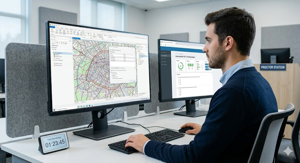
Additional Information
What the Course Entails and Exam Details
This practice exam covers the essential skills and complex theoretical concepts required to operate effectively in an intermediate-to-advanced GIS role. The curriculum focus generally includes advanced vector and raster analysis, network modeling, sophisticated 3D visualization, and complex geodatabase design and management. Additionally, many modern exams emphasize automation, requiring candidates to demonstrate knowledge of geoprocessing with scripting languages such as Python. Understanding web GIS platforms, data quality control procedures, and cartographic design principles for complex datasets are also core components.
What to Expect in the Final Exam
Candidates should expect a rigorous and thorough evaluation process. The exam is typically a hybrid format, combining structured multiple-choice questions to test theoretical knowledge with practical, performance-based tasks that require you to solve real-world problems using a standard GIS software interface. For instance, you might be asked to design and execute a complex multi-criteria spatial analysis model to identify potential locations for a new facility. The passing score is usually set between 70% and 75%. You will typically be given a two- to three-hour window to complete the assessment. Strict testing protocols are in place, so all standard cheating prevention rules—including proctoring and identity verification—will be enforced.
How to Study and Exam Centers
Effective preparation is key. We highly recommend a structured study plan. Utilize the comprehensive official study guide and any review materials provided. Focus heavily on hands-on practice; complete numerous practice projects that force you to work through spatial problems from data acquisition to final map production. Consider creating your own study guide by summarizing key concepts in your own words. Group study and utilizing official practice tests are also excellent strategies.
The actual final exam is often administered through highly secure, authorized testing partners. These standard exam locations frequently include Pearson VUE testing centers or other specialized professional assessment facilities worldwide. Additionally, some providers may offer a remote, proctored online testing option, allowing you to take the exam from a private location, provided your environment and computer meet the strict security specifications.
Job Opportunities from the Course
Earning a certification like the Intermediate GIS 2 significantly enhances your credibility in the job market, opening doors to many specialized and higher-paying career paths. Here are common job titles this certification unlocks:
GIS Analyst (Intermediate to Senior)
GIS Technician (Lead)
Geospatial Data Scientist (Entry to Intermediate)
Remote Sensing Analyst
Spatial Database Administrator
GIS Developer (Junior)
Urban Planner (with specialized GIS focus)
Natural Resource Specialist (with advanced GIS focus)
Transportation GIS Specialist
Frequently Asked Questions
Reviews
5.0
Based on 0 reviews
Leave a Review
No reviews yet. Be the first to review!