
NCEES Principles and Practice of Surveying Practice Exam
$69.00
- Buy to unlock unlimited access to all Quiz questions and Answers in this Quiz.
- After purchase you can print a PDF of the whole quiz at any point. The PDF will contain the questions and the correct answers.
About this Exam
The NCEES Principles and Practice of Surveying (PS) Exam is the crucial final step for individuals striving to achieve licensure as a Professional Surveyor (P.S.). This rigorous computer-based examination assesses a candidate's advanced competency in the principles and practices of surveying. Passing the PS Exam is a monumental milestone, signifying a professional's readiness to manage intricate boundary determination, land development projects, and sophisticated spatial data systems. This exam is designed for individuals who have typically completed the required education and accumulated several years of qualifying experience in the surveying field, making them eligible for full licensure.
Ready to test your knowledge?
Buy Now to Access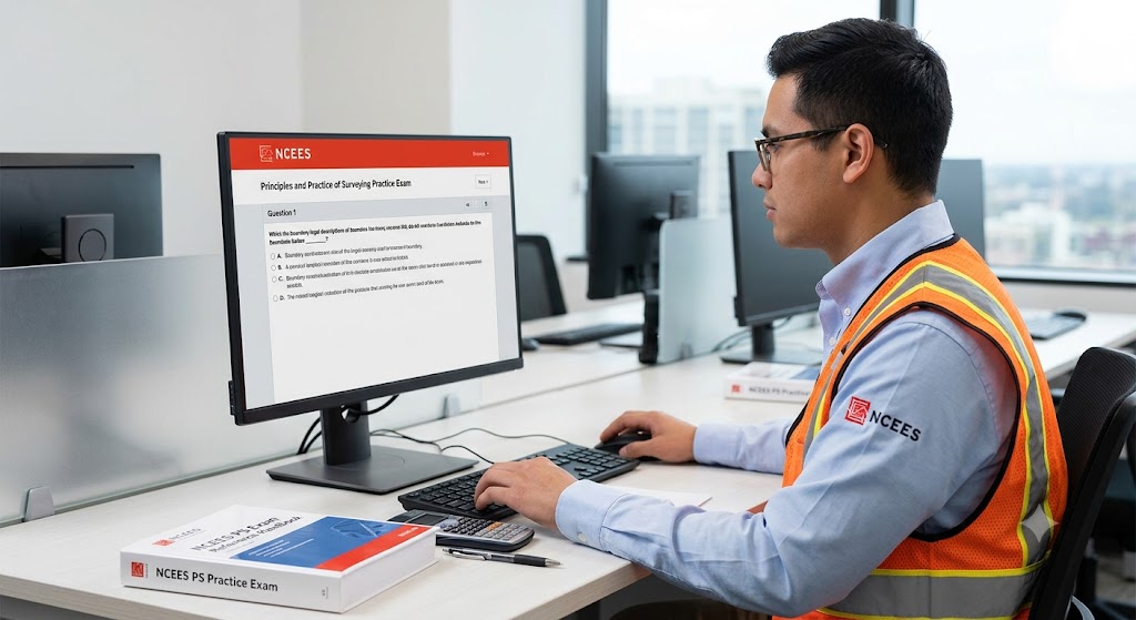
Additional Information
What the Course Entails and Exam Details
The PS Exam validates your comprehensive knowledge of a
broad spectrum of advanced surveying concepts. Key areas of focus include:
Legal Aspects and Research, such as boundary law, state and federal statutes,
and complex land records; Data Acquisition and Management, covering
photogrammetry, horizontal and vertical control, and geographic information
systems (GIS); Surveying Methods and Calculations, including geometric design,
construction layout, and coordinate geometry; Standards and Specifications; and
Professional Practice, incorporating ethical considerations and business
management. Candidates must demonstrate a deep understanding not just of
methodologies, but also the legal and societal implications of their work. The
exam's comprehensive nature ensures that only highly qualified individuals
become licensed professionals.
What to Expect in the Final Exam
The PS Exam is a closed-book, computer-based test (CBT)
administered at authorized Pearson VUE test centers. The exam consists of 85
multiple-choice questions designed to evaluate critical thinking and
problem-solving skills rather than just memorization. The total appointment
time is 7 hours, which includes a tutorial, the actual exam, and a break. There
are strict security protocols at the testing centers, including ID
verification. The passing score is determined based on psychometric analysis of
the specific exam form, ensuring consistency and fairness.
How to Study and
Exam Centers
Effective preparation is paramount for success on the
challenging PS Exam. Begin by downloading and thoroughly analyzing the NCEES PS
Exam Specifications. Invest in the official NCEES PS Practice Exam, which
provides realistic questions and simulates the actual computer-based testing
experience. Supplement your learning with comprehensive review courses and
specialized surveying study guides from reputable providers. Create a
structured study schedule, allocating ample time to master legal principles, advanced
mathematics, and project management concepts. Practice solving complex problems
and taking timed practice exams to build stamina and confidence. The PS Exam is
offered year-round at authorized Pearson VUE centers globally. You must first
register with NCEES to receive authorization and then schedule your exam
directly with Pearson VUE.
Job Opportunities from the Course
Passing the NCEES PS Exam and achieving Professional
Surveyor (P.S.) licensure unlocks a multitude of high-paying and impactful
career opportunities. Licensure validates your expertise, leading to advanced
positions and increased responsibilities in both the private and public
sectors. Key job opportunities include:
- Professional
Land Surveyor (P.S.): Directing surveying operations, certifying legal
land documents, and acting as a lead technical authority.
- Survey
Project Manager: Overseeing large-scale mapping and development
projects, managing teams, and ensuring regulatory compliance.
- Geographic
Information Systems (GIS) Manager: Integrating surveying data into
sophisticated spatial databases for urban planning or resource management.
- Boundary
Analyst/Consultant: Providing expert knowledge in property disputes, historical<!--[if !supportAnnotations]-->[JN1]<!--[endif]-->
research, and land title issues.
- Government
Surveyor (Federal, State, or Local): Working with agencies like the
Bureau of Land Management or state departments of transportation on
infrastructure projects and public land management.
<!--[endif]-->
<!--[if !supportAnnotations]-->[JN1]<!--[endif]-->
Frequently Asked Questions
Reviews
5.0
Based on 0 reviews
Leave a Review
No reviews yet. Be the first to review!