
Utility Network Specialty Practice Exam
$69.00
- Buy to unlock unlimited access to all Quiz questions and Answers in this Quiz.
- After purchase you can print a PDF of the whole quiz at any point. The PDF will contain the questions and the correct answers.
About this Exam
The Esri ArcGIS Utility Network Specialty certification is a prestigious credential that validates your specialized expertise in designing, implementing, and managing utility networks within the ArcGIS ecosystem. This specialty exam is specifically designed for GIS professionals, network modelers, and technical leads who have a deep understanding of the sophisticated data models, editing workflows, and analysis tools required to represent complex electric, gas, water, wastewater, and telecommunications infrastructure. Achieving this certification demonstrates your proficiency in utilizing services-based architecture to maintain high-quality network data, perform advanced spatial and network tracing analysis, and configure the utility network to support your organization’s critical asset management and planning needs.
Ready to test your knowledge?
Buy Now to Access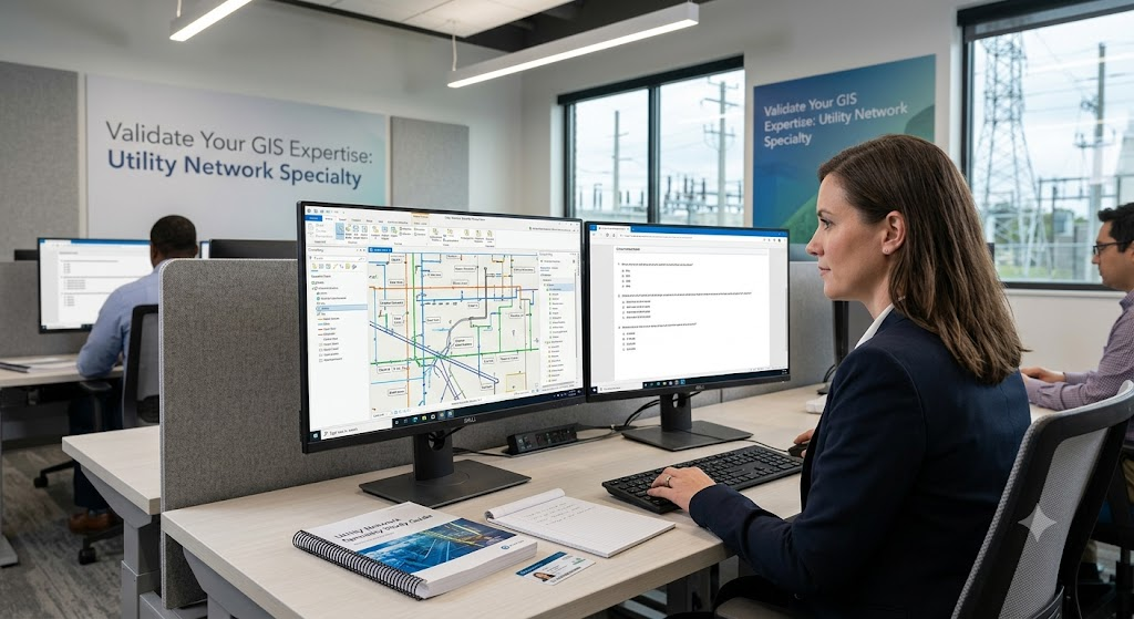
Additional Information
What the Course Entails and Exam Details
While the exam itself doesn’t have a mandatory "course," preparing for it requires mastery of a broad set of technical skills and core topics related to Esri’s modern network management framework. The exam domains primarily cover five key pillars: Data Modeling, Editing and Maintenance, Network Topology, Analyzing Network Behavior, and Administration/Implementation. You will be expected to know how to design a domain network, configure connectivity associations and asset groups, apply attribute rules to ensure data integrity, validate network topology to detect errors, configure and execute complex tracing operations (such as upstream, downstream, and isolation traces), manage subnetworks, and deploy ArcGIS Utility Network configurations in an enterprise environment using ArcGIS Pro and ArcGIS Enterprise. Candidates should also be familiar with the fundamentals of services-based architecture and branch versioning workflows.
What to Expect in the Final Exam
The official ArcGIS Utility Network Specialty exam is administered via a computer-based testing environment at authorized proctored centers. The exam consists of approximately 40 to 60 multiple-choice and multiple-response questions. The testing period is typically around 90 minutes. It is a closed-book exam, meaning you will not have access to ArcGIS Pro or any reference materials during the test. A passing score is dynamic and based on statistical analysis of question difficulty, though the numerical threshold is usually high to reflect specialized mastery. Focus on your ability to interpret conceptual questions about the network data model alongside practical, scenario-based questions that ask how to configure or troubleshoot specific utility network behaviors.
How to Study and Exam Centers
Effective preparation for this specialty exam requires a balanced blend of practical experience, documentation review, and targeted training. Start by reviewing the official Esri Exam Information Guide to understand the domain weighting and objectives. Spend significant time reading the "Understanding ArcGIS Utility Network" technical papers and ArcGIS Pro documentation regarding configuration, topology, and tracing. If possible, complete official Esri Academy instructor-led or web courses focused on configuring and analyzing utility networks. Create your own test dataset to practice setting up rules, associations, and subnetworks. Finally, take a reputable "Utility Network Specialty Practice Exam" to familiarize yourself with the question style and manage your time. This exam is scheduled and taken through Pearson VUE, which provides options for both physical testing centers worldwide and secure, online proctored testing from your home or office.
Job Opportunities from the Course
A certification as an Esri ArcGIS Utility Network Specialty expert significantly enhances your marketability in the competitive GIS and utility sectors. It unlocks specialized career paths and roles that command higher salaries due to the advanced technical skills required. Key job titles and career paths enabled by this specialty include:
Senior GIS Analyst (Utilities)
Utility Network Modeler
GIS Solutions Architect
Network Data Manager
GIS Application Developer (Utility Focus)
GIS Consultant for Infrastructure Planning
Utility Asset Management Specialist
GIS Project Manager (Utility Sector)
Water/Electric/Gas GIS Technical Lead
Field Operations GIS Support Specialist
Frequently Asked Questions
Reviews
5.0
Based on 0 reviews
Leave a Review
No reviews yet. Be the first to review!